Disaster and Risk Mapping
Visualize the frequency and cost of billion-dollar weather and climate events using our interactive mapping tool.
VIEW MAPS →
Charts and Graphs
Study bar charts that show the 45-year history of U.S. 'compound extremes' (e.g., billion dollar disaster events that occur at the same time or in sequence).
VIEW CHARTS AND GRAPHS →Event Summaries
Search tabular data and narratives of billion-dollar events affecting the United States from 1980 to 2024.
VIEW EVENT SUMMARIES →
Your new home for CSS-Intel
Since financial support of Billion Dollar Disasters (BDD) was discontinued, CSS-Inc recognized a need to continue the in-demand, nationwide resource. Using the National Oceanic and Atmospheric Administration's source data, CSS-Inc has rebuilt BDD with improvements to efficiency and design. Personalized features are included while the majority BDD remains free-to-use.

Billion-Dollar Statistics
The U.S. sustained 403 weather and climate disasters from 1980-2024 where overall damages/costs reached or exceeded $1 billion (including CPI adjustment to 2024). The total cost of these 403 events exceeds $2.915 trillion.
The Rising Cost of Climate Disasters
A visual journey through 45 years of billion-dollar weather events
1980s: The Baseline Era
When NOAA began tracking billion-dollar disasters in 1980, the U.S. averaged just 3 events per year. These early records established the baseline for understanding climate-related economic impacts.
1990s-2000s: A Growing Trend
By the turn of the millennium, the frequency of billion-dollar disasters had nearly doubled. Hurricane Andrew (1992) and the Northridge Earthquake (1994) marked a new era of costly events.
2010s: The Acceleration
The 2010s saw a dramatic surge in billion-dollar disasters. From Hurricane Sandy to devastating wildfire seasons, the decade recorded more events than any previous period.
2020s: A New Normal
We are now experiencing an average of 20+ billion-dollar disasters annually. Climate change is driving more frequent and intense weather events across all categories.
The Costliest Disaster Types
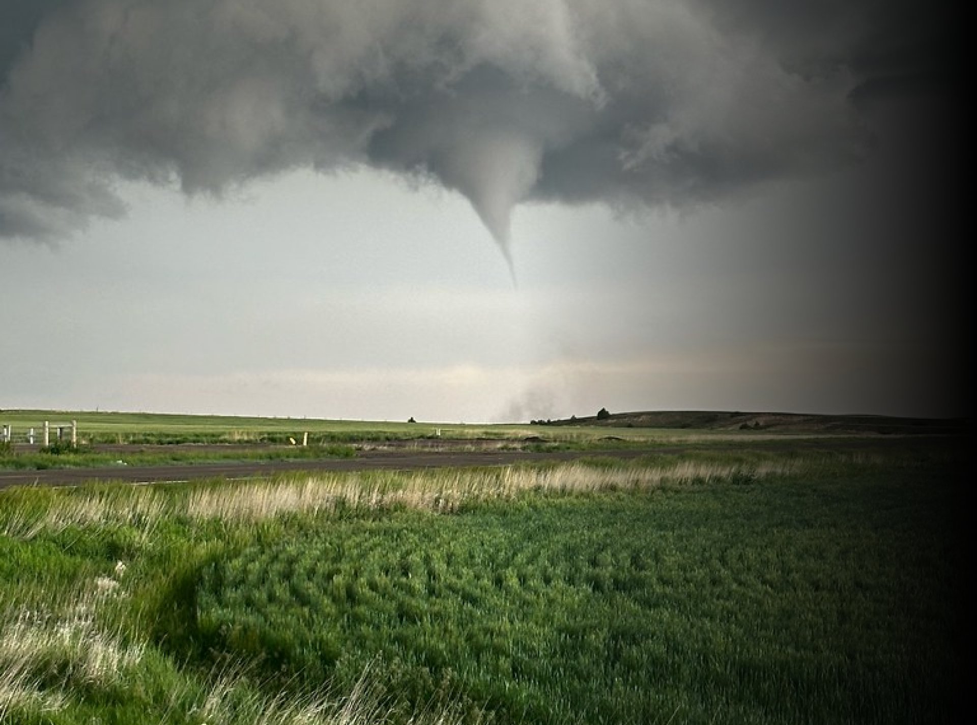
Tropical cyclones remain the most expensive disaster type, but severe storms and wildfires are rapidly increasing in both frequency and cost.
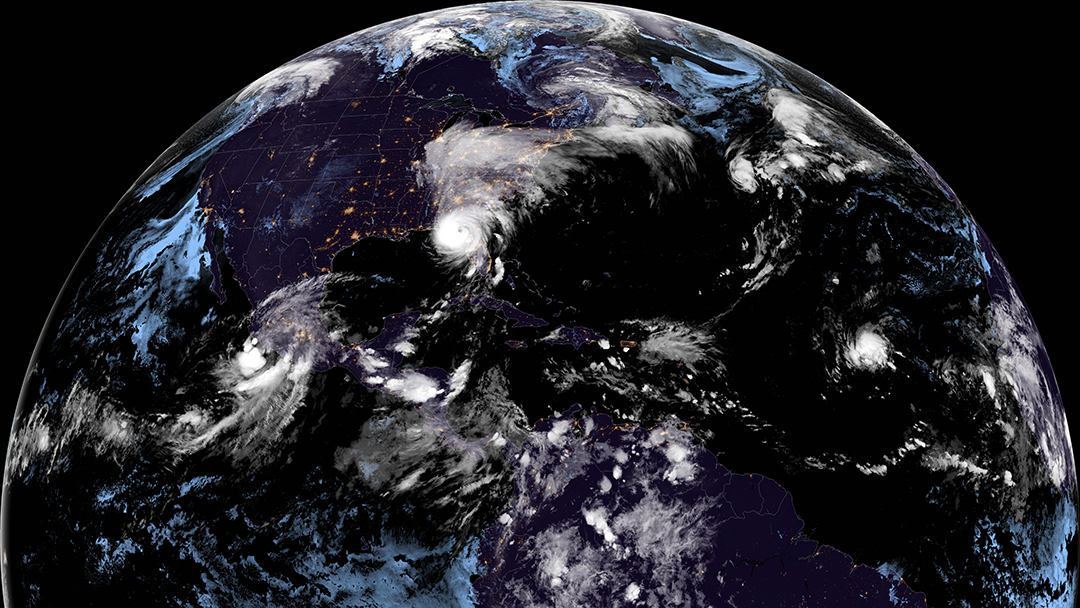
Tropical Cyclones
$1.3T+ ~45% of total costsSevere Storms
$400B+ Most frequent typeFlooding
$200B+ Growing rapidlyWildfires
$150B+ 5x increase since 2000Winter Storms
$100B+ Increasing intensityDrought
$300B+ Agricultural impactExplore the Data Yourself
Dive deeper into 45 years of disaster data. Filter by state, disaster type, and time period to understand the risks that matter most to you.
Choose Your Dashboard
Select from a variety of tailored dashboards designed to meet your specific needs. Whether you're a homeowner, researcher, or enterprise, we have tools built for you.
Homeowners
Property risk insights
- Property-specific risk assessments
- Local disaster history and trends
- Emergency preparedness resources
- Neighborhood vulnerability maps
Researchers
Academic datasets
- Downloadable datasets in multiple formats
- API access for programmatic analysis
- Peer-reviewed methodology documentation
- Citation-ready data sources
Municipal Planners
Community resilience
- County and zip code level analysis
- Infrastructure vulnerability mapping
- Multi-hazard risk assessments
- Grant application support data
Private Companies
Business continuity
- Supply chain risk mapping
- Facility exposure assessments
- Business continuity planning tools
- Operational risk dashboards
Investors
Portfolio risk analysis
- Portfolio climate risk analysis
- Asset-level vulnerability scoring
- Sector exposure comparisons
- Investment due diligence data
Climate Enthusiasts
Trend exploration
- Interactive trend exploration tools
- Multi-decade comparison charts
- Pattern discovery dashboards
- Educational climate resources
ESG Officers
Sustainability metrics
- TCFD-aligned climate risk data
- Sustainability report generators
- ESG metric tracking dashboards
- Regulatory compliance support
General Users
Overview dashboards
- Simple, intuitive dashboards
- Easy-to-read visualizations
- Quick disaster summaries
- Educational resources
Data Sources and Methodology
The National Centers of Environmental Information tracked and evaluated climate events in the U.S. and globally from 1980-2024 that had great economic and societal impacts. NCEI calculated disaster impacts by accounting for risk and climate variability.
READ FULL DATA METHODOLOGY →